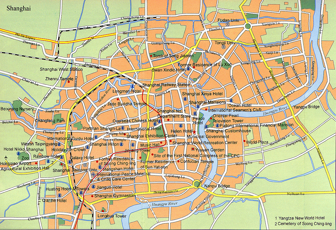
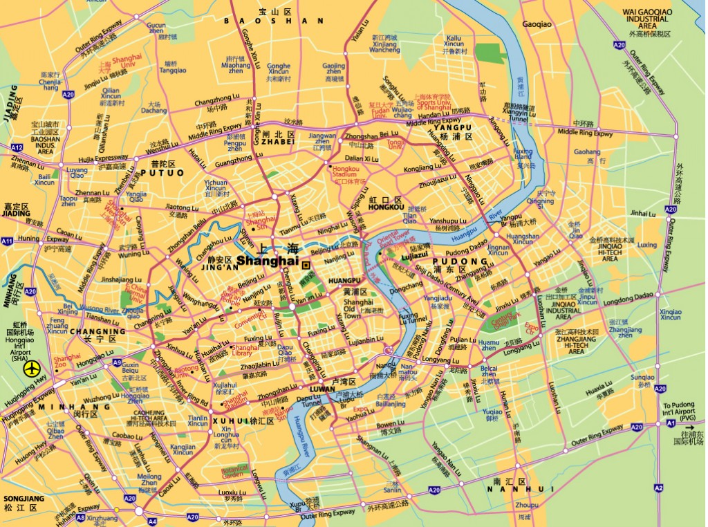
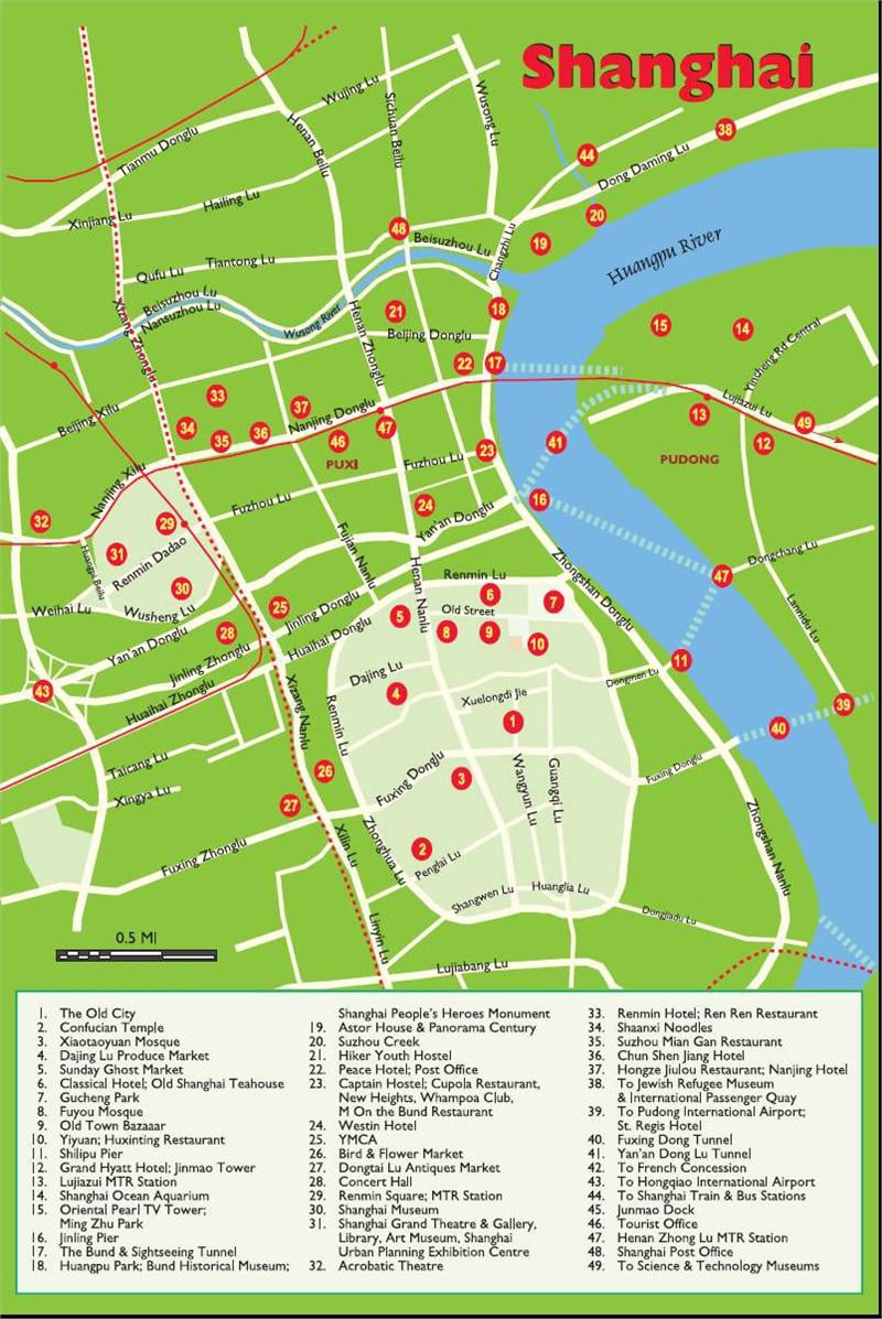
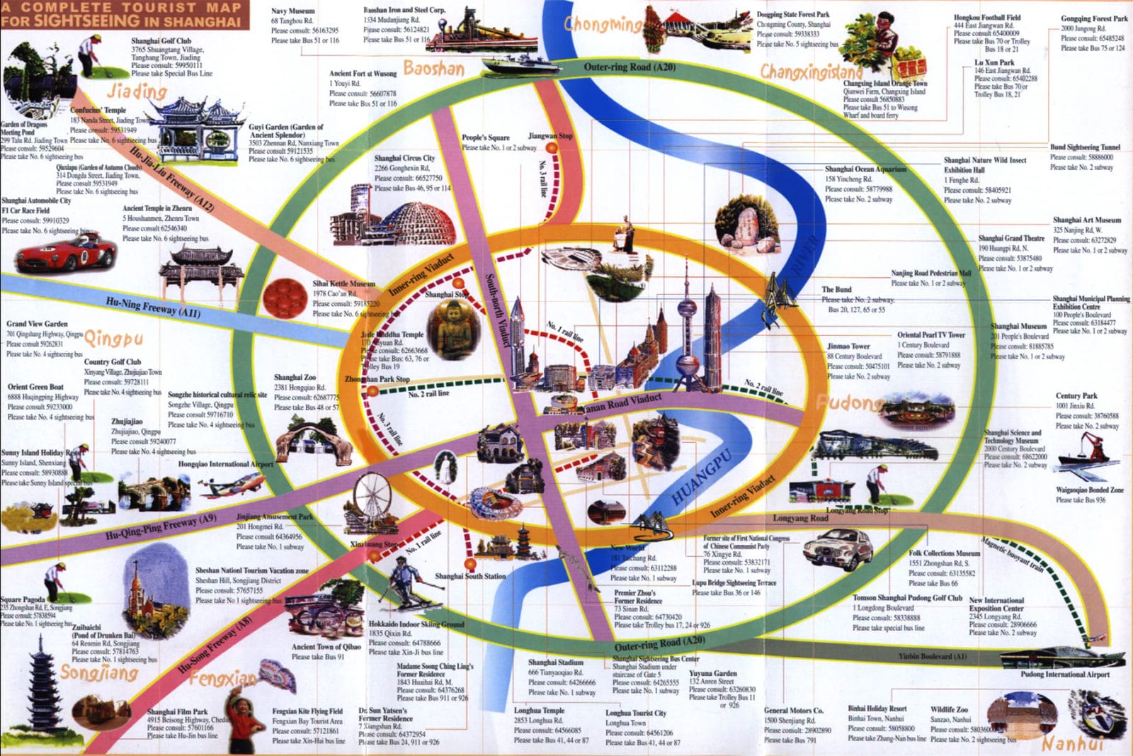
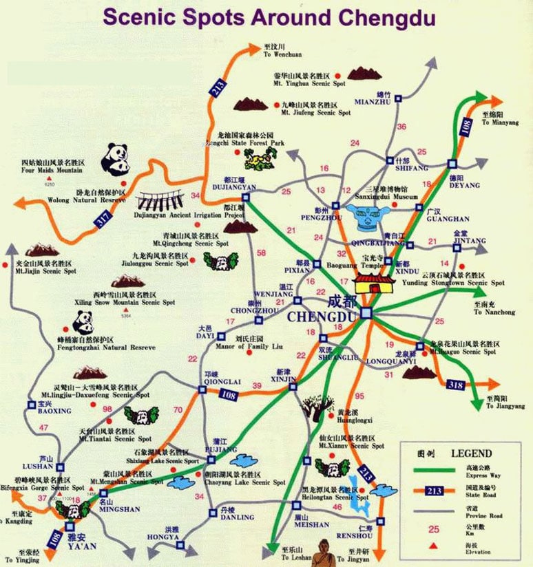
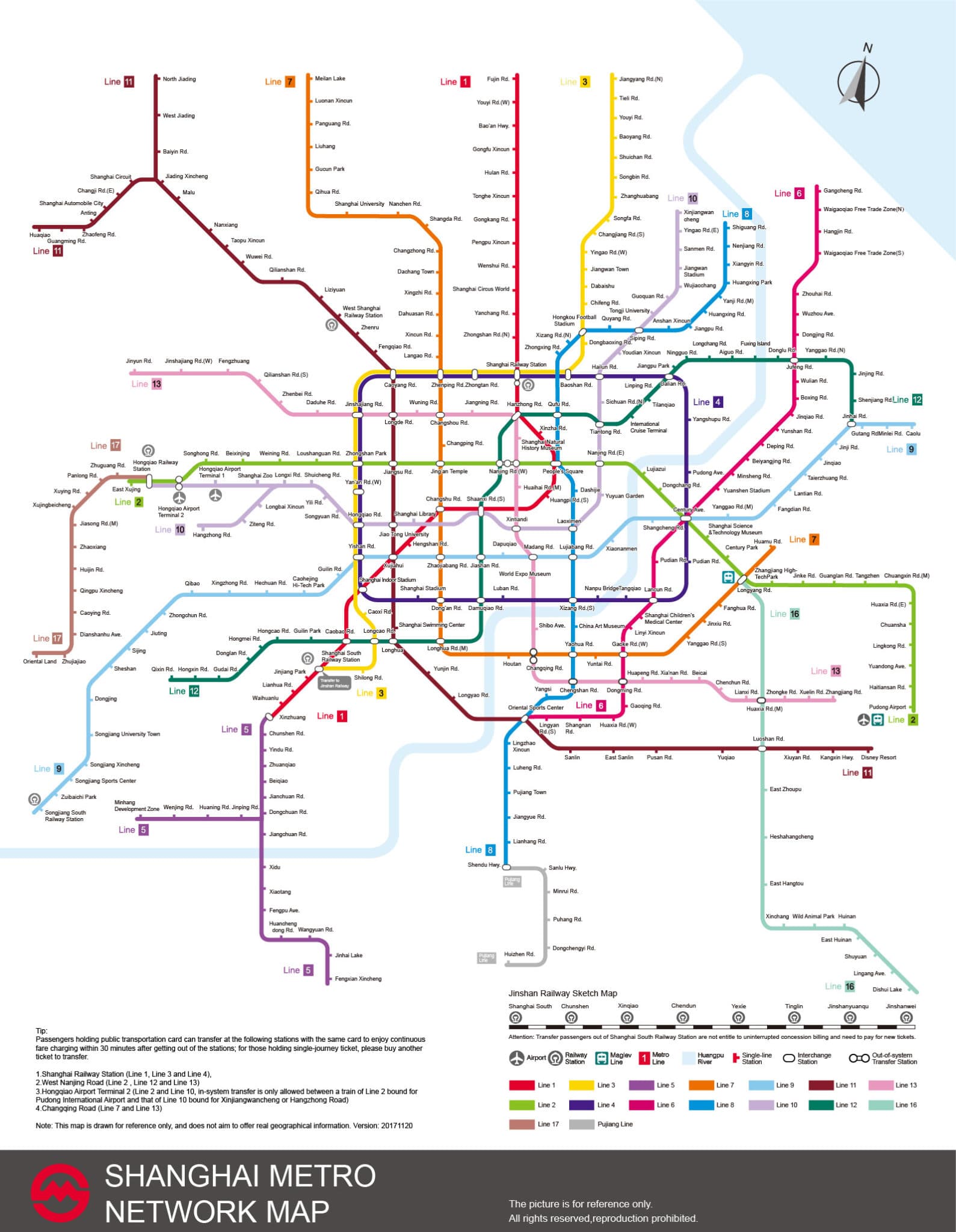
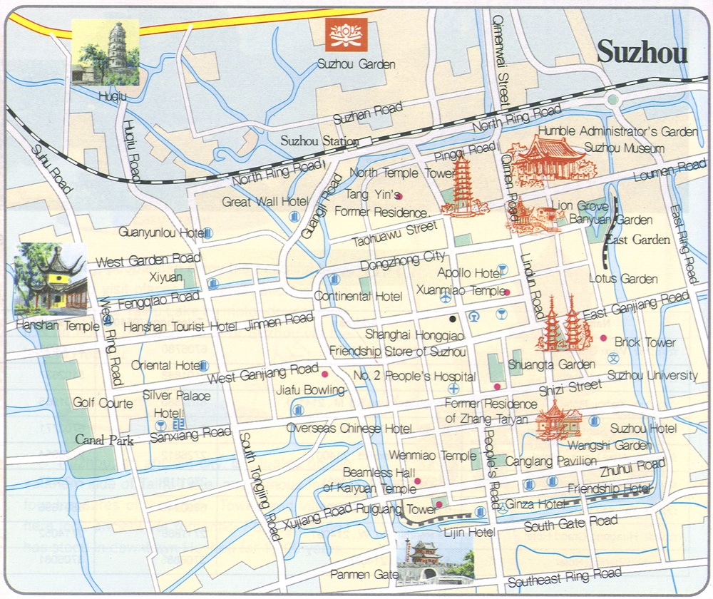
In this post, you can get Free Printable Shanghai, China Tourist and Metro Maps to help you during your travels to this amazing city (right-click to enlarge or print the maps):
This page gives you the city of Shanghai China in map form, including Shanghai metro maps, tourist maps, Shanghai districts map, Shanghai attractions map, and more. These maps can be enlarged and downloaded to be read and understood better.
Metro Area Maps:
When is comes to traveling around the city of Shanghai, the Metro is a very speedy, safe, comfortable and convenient option mean of transportation. The main attractions, transportation hubs and commercial areas such as the Bund, Nanjing Road, Huaihai Road, People’s Square, Shanghai Railway Station and Xujiahui can be reached by several metro lines. As it stands today, there are currently 16 Shanghai subway lines in operation, totaling 705 kilometers (438 miles). See more Shanghai subway maps here.
Tourist Maps:
These maps cover some main popular attractions near Shanghai City, including Wuzhen Water Town, Zhouzhuang Water Town, Tongli Water Town, and Xitang Water Town.
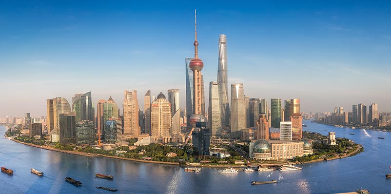
Did you know Shanghai is the largest and the most developed metropolis city in mainland China? Therefore, this city has plenty of attractions to visit that thousands of tourists flock to each year.
This map shows some of the main tourist attractions in and around Shanghai City, including the Huangpu River, the Bund, Nanjing Road, Oriental Pearl TV Tower, Jinmao Tower, and Yuyuan Garden. Learn more about Shanghai attractions here.
Interested in more maps and information on Shanghai? Checkout the following links below!

